The Alpine region as a decorative and informative overview map with the surrounding countries and borders
- The 20 most famous long-distance hiking trails with "start and finish" points, total distance and number of daily stages
- The 10 most famous long-distance cycle routes with "start and finish"
- Overview of the most important Alpine transit routes, passes, tunnels and car transport services
- With main, secondary and narrow-gauge railway lines as well as large and small stations
- Ideal density of locations with the most important cities and towns, motorways and federal highways
- Landscape descriptions with waterways, rivers and lakes
- Overview map of the Alpine countries as a political map, country names and main connecting roads
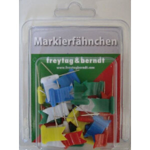
Digital direct printing on 10 mm soft foam board, allows the use of pins, for example small needles with flags.

