
Globes & Maps
> Maps
> Regions
> Europe
> Austria and Switzerland
> Stiefel
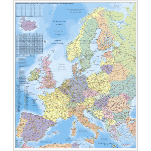
> Stiefel Regional map Deutschland-Österreich-Schweiz PLZ- u. Organisationskarte
Customer reviews
There are no customer reviews for this product yet.Compose your own review
Do you have specific questions about your order or products? Please contact our customer service!