

Customer reviews
There are no customer reviews for this product yet.Compose your own review
Do you have specific questions about your order or products? Please contact our customer service!
Customers who bought this product also bought...
$ 22.90
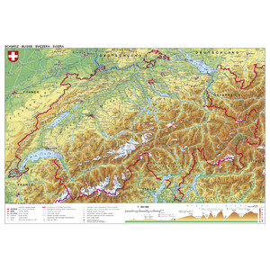
Stiefel Map Switzerland physical (98 x 68 cm)
$ 68.00
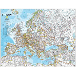
National Geographic Continental map Europe politically largely laminates
$ 28.90
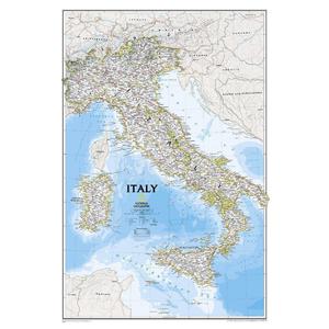
National Geographic Map Italy
$ 30.90
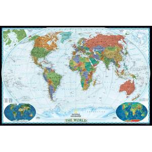
National Geographic Decorative map of the world
$ 205.00
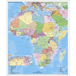
Stiefel Continental map Africa, political with postcodes on a plate for tinning
$ 267.00
Stiefel Continental map Africa, political, with postcodes on a plate for tinning and magnetic