Why not get the full overview right away?
The Stiefel world map "Deutschland und Europa in der Welt" (Germany and Europe in the world) clearly shows the differences in size and political relationships at a glance.
- The upper half of the map shows the world with Europe at the centre. The lower half shows the countries of Europe and a map of Germany.
- Additional information such as the ratio of water to land surface and population ratios is displayed in the centre.
- The clear layout of the three maps provides an excellent overview of the location, size and relationships between countries and continents.
As a wall map, you have political and geographical features at your fingertips. You can imagine how quickly the information can be stored in your long-term memory when you see it in front of you over a longer period of time.
If questions arise in everyday office life, they can be quickly and easily answered using the Stiefel world map.
The paper is writable and wipeable, as well as particularly tear-resistant!
The map is delivered rolled up in a plastic tube.
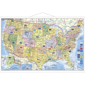
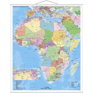
Hanging: White metal rings are attached to the top and bottom of the map, with a hanging mechanism on the top ring. This allows the map to be hung easily and keeps it in shape.