
Globes & Maps
> Maps
> Countries
> Stiefel
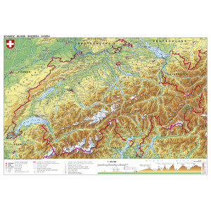
> Stiefel Map Switzerland, political, with postcodes (95 x 62 cm)
Customer reviews
There are no customer reviews for this product yet.Compose your own review
Do you have specific questions about your order or products? Please contact our customer service!