

Customer reviews
There are no customer reviews for this product yet.Compose your own review
Do you have specific questions about your order or products? Please contact our customer service!
Customers who bought this product also bought...
$ 34.90
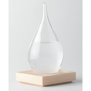
AstroMedia Weather station Fitzroy drop-shaped storm glass (big)
$ 25.90
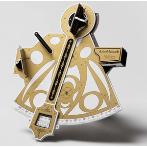
AstroMedia Kit The Sextant
$ 58.85
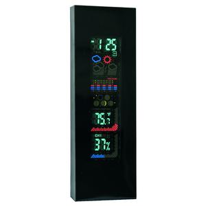
Celestron LCD weather station with colour display
$ 5.90
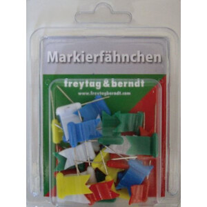
freytag & berndt Markierungsfahnen wehend farblich gemischt 30 Stück
$ 5.90
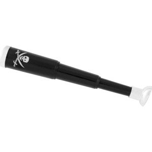
'Pirate's telescope' children's toy
$ 6.90
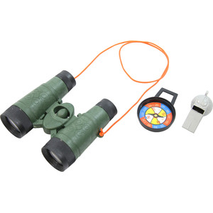
Entdecker-Set mit Fernglas, Kompass und Pfeife