

Globes & Maps
> Maps
> Worldmaps
> National Geographic
> Executive
> National Geographic antique map of North America
Customer reviews
There are no customer reviews for this product yet.Compose your own review
Do you have specific questions about your order or products? Please contact our customer service!
Customers who bought this product also bought...
$ 45.90
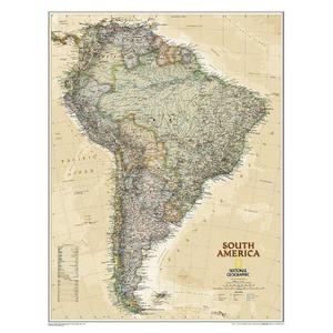
National Geographic antique map of South America
$ 58.00
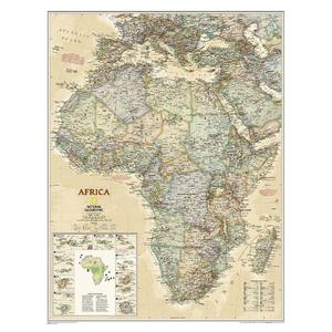
National Geographic Continental map Africa
$ 45.90
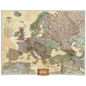
National Geographic Continental map Europe (76 x 61 cm)
$ 63.00
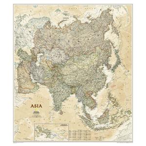
National Geographic Continental map Asia (96 x 86 cm)
$ 45.90
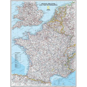
National Geographic Map France laminated
$ 45.90
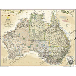
National Geographic Continental map Australia (77 x 69 cm)